GPS Helps Save Lives
When disaster strikes, a quick response saves lives. Knowing the location of streets, buildings, and disaster-relief sites helps rescuers find survivors and get them the medical care they need.
Search and rescue teams used GPS to save lives after the 2004 tsunami in the Indian Ocean, the Pakistan-India earthquake in 2005, and the devastating hurricanes Katrina and Rita in the Gulf of Mexico region in 2005.
Scientists use GPS to study areas that are prone to earthquakes. GPS survey equipment helps measure the motion of faults in earthquakes. Scientists use what they learn to study how strain builds up slowly over time. They hope to be able to predict earthquakes earlier so that in the future more lives can be saved.
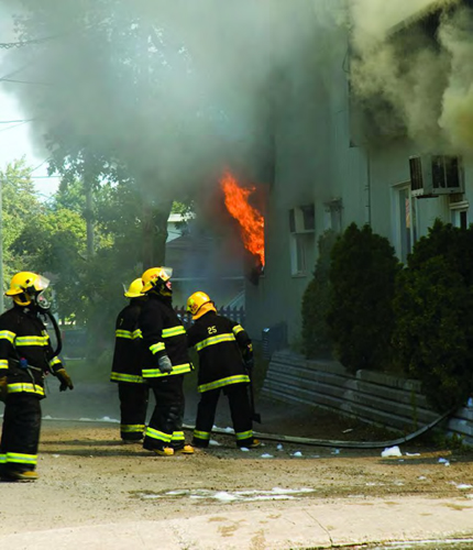
In a fire, every second counts. When someone needs an ambulance or a police officer, a long wait can mean trouble. GPS information helps police, fire, and emergency responders get there quickly in life or death situations.